





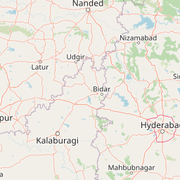
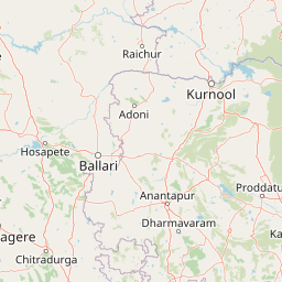
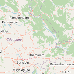

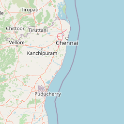
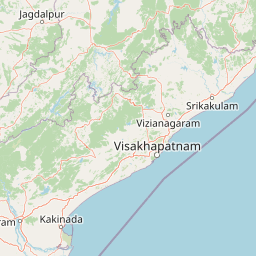








Andhra Pradesh + Telangana PropertySignature Map
Papikondalu Tour Places to visitTirumalaPadmavathi TempleKanipakamSrikalahastiKapila TheerthamChandragiri FortTalakona Falls9 devotee & visitor accommodation sources
 Places to visitRK BeachKailasagiriAraku ValleySimhachalam TempleYarada BeachBorra Caves9 devotee & visitor accommodation sources
 Places to visitKanaka Durga TempleUndavalli CavesBhavani IslandPrakasam BarrageAmaravatiKondapalli Fort2,425 devotee & visitor accommodations
 Places to visitLepakshi TemplePenukonda FortGandikotaPuttaparthiRayadurg FortThimmamma Marrimanu9 devotee & visitor accommodation sources
 Places to visitMukteswara TempleGodavari GhatsLakshmi PumphouseMedigadda BarrageAnnaram BarrageRamagiri Fort9 devotee & visitor accommodation sources
 Places to visitYadadri TempleSurendrapuriBhongir FortKolanupaka TempleRachakonda FortPochampally9 devotee & visitor accommodation sources
 Places to visitSaraswati TempleGodavari GhatNirmal CraftsKuntala FallsPochera FallsNizamabad Fort9 devotee & visitor accommodation sources
 Places to visitBhimeswara TempleSapta Godavari KundamKakinada CoastCoringa SanctuarySamalkot TempleYanam9 devotee & visitor accommodation sources
 Places to visitGodavari BridgePushkar GhatPapikondalu Boat PointDowleswaram BarrageISKCON RajahmundryCotton Museum9 devotee & visitor accommodation sources
 Places to visitRajahmundry Boat CruisePapi HillsBhadrachalam RoutePerantapalliKolluru HutsGodavari Viewpoints9 devotee & visitor accommodation sources
 Places to visitSita Ramachandra TemplePapikondalu CruiseParnasalaGodavari GhatAbhaya Anjaneya TempleSabari River Point9 devotee & visitor accommodation sources
 Places to visitBhairavakonaVelugonda ProjectKothapatnam BeachChennakesava TempleCumbum LakeGundlakamma Reservoir9 devotee & visitor accommodation sources
 Places to visitCharminarGolconda FortHussain SagarBirla MandirSalar Jung MuseumChowmahalla Palace9 devotee & visitor accommodation sources
Homes For You on PropertySignature
Only approved PropertySignature listings are shown here.